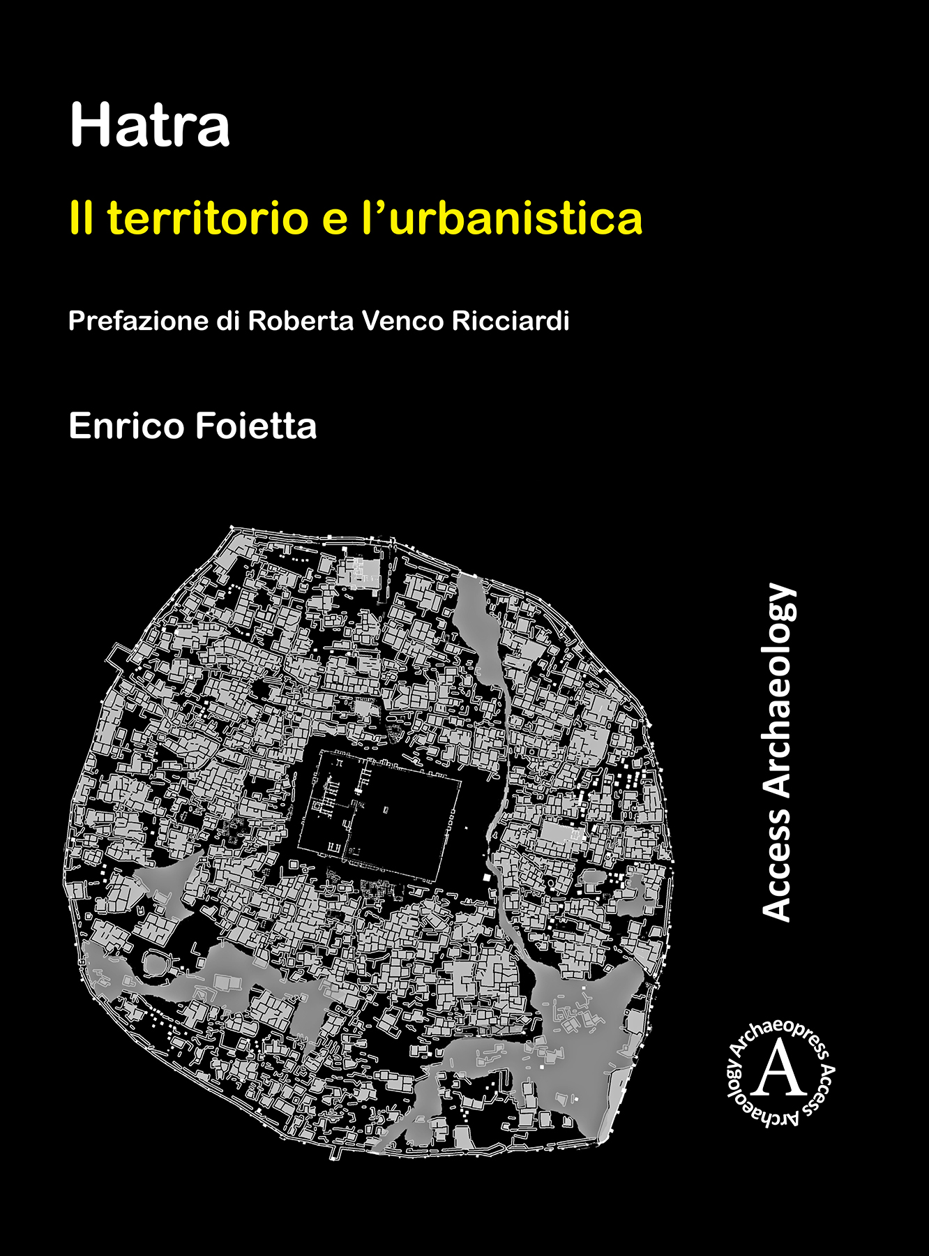
The ancient city of Hatra is located 80 km southwest of the modern city of Mosul. The site reached its apogee during the 2nd and 3rd centuries AD, arriving at the striking dimensions of c. 300 hectares and into a new role as the capital of a significant buffer state between the Parthian and Roman empires. This volume is devoted to the study of the landscape surrounding Hatra and of the development of this important city, drawing on published information gathered by Iraqi and foreign expeditions, as well as unpublished data garnered from over fifteen years of fieldwork at the site by the Italian Archaeological Expedition. The study of the landscape comprehends the morphology, hydrology and geology of the region and offers new proposals regarding the exploitation of natural resources and the development of regional and local routes through the territory under Hatra’s political and military control during the 2nd and 3rd centuries AD. The analysis of Hatra as an urban centre consists of a detailed study of the city’s hydrology, street network and urban areas, with the purpose of detecting the principles behind the planning and development of the city. The main elements of the urban space are treated in this book: the Temenos area and the Small Shrines, the Necropoles, the Fortifications, the Houses, and the Palaces. Due to the cross-referencing of archaeological, historical and epigraphic data, new ideas have been proposed regarding the chronological phases of urbanism at Hatra, from its foundation up to the destruction of the city by the Sasanian army in AD 241.
La città di Hatra si trova nella Jazira irachena a circa 80 km a sud-ovest di Mosul. Il centro raggiunse il suo apogeo durante il II-III sec. d.C., toccando l’impressionante estensione di quasi 300 ettari e divenendo la capitale di un influente stato cuscinetto, collocato tra l’impero partico e l’impero romano. Questo volume è dedicato allo studio del territorio e dell’urbanistica di questo importante sito antico, impiegando contestualmente informazioni edite, raccolte dalle varie missioni irachene e straniere che si sono avvicendate sul terreno, e inedite, provenienti dal vasto Archivio della Missione Archeologica Italiana a Hatra in più di quindici anni di ricerche sul campo. Lo studio del territorio definisce un quadro dettagliato della morfologia, idrologia e geologia della regione e dell’area prossima al centro, oltre a proporre alcune nuove ipotesi interpretative sullo sfruttamento delle risorse ambientali, sull’articolazione della rete viaria periurbana e regionale e sull’estensione del territorio sottoposto al controllo politico e militare della città durante il II e III sec. d.C. L’analisi urbanistica comprende uno studio approfondito dell’idrologia cittadina, della rete stradale e delle aree urbane, allo scopo di individuarne le principali caratteristiche ed eventuali regole nella pianificazione e nello sviluppo della città. Nel libro sono inoltre analizzati i principali elementi che compongono il tessuto urbano: il Temenos e i templi minori, le necropoli, le difese cittadine, le case e i palazzi. Grazie all’utilizzo contestuale del dato archeologico, storico ed epigrafico, è stato inoltre possibile formulare nuove ipotesi sulle fasi urbanistiche e sulla cronologia di Hatra dalla fondazione alla sua distruzione, avvenuta per mano sasanide nel 241 d.C.
H 276 x W 203 mm
570 pages
Illustrated throughout in colour and black & white (140 plates in colour)
Italian text
Published Sep 2018
Archaeopress Access Archaeology
ISBN
Paperback: 9781789690057
Digital: 9781789690064


No comments:
Post a Comment