Moshe Fischer and Oren Tal
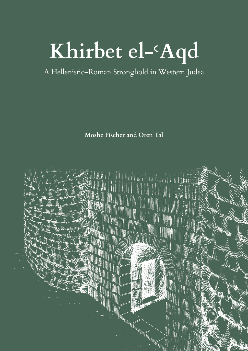
Horizons | TAU Archaeological Studies No. 6
2025
ISBN: 978-965-266-076-3
240 Pages
Color and B&W illustrations
16.5 X 23.5cm
Horizons | TAU Archaeological Studies No. 6
2025
ISBN: 978-965-266-076-3
240 Pages
Color and B&W illustrations
16.5 X 23.5cm
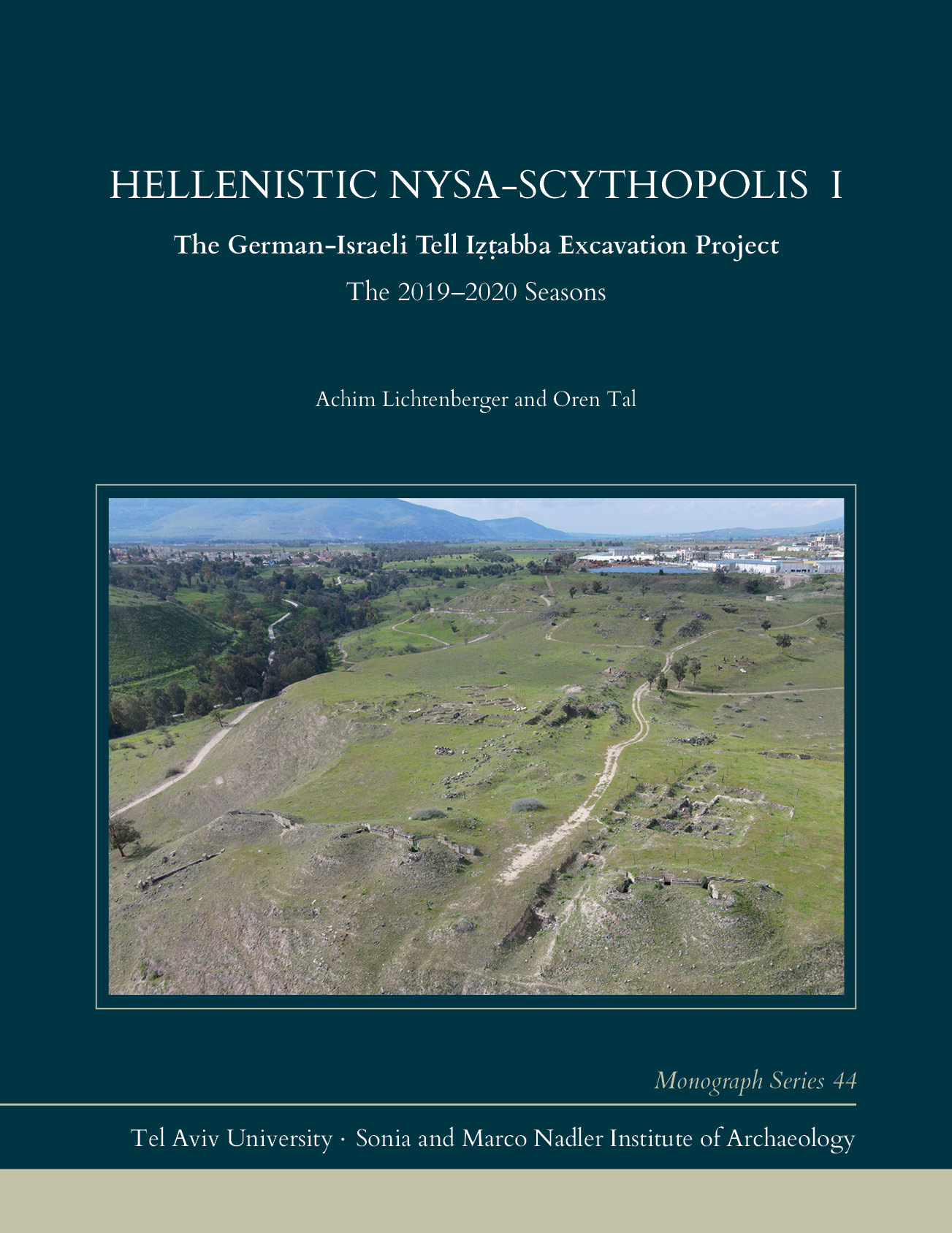
Monograph Series No. 44
2025
ISBN 978-965-266-078-7
394 pages
B&W and color illustrations
21.5 × 28 cm
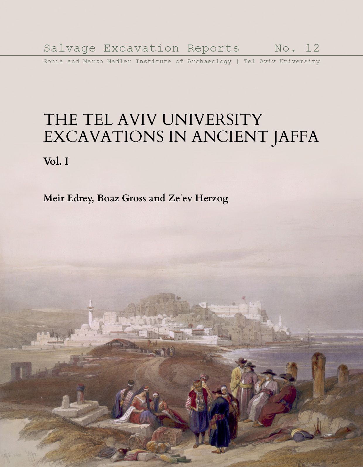
Salvage Excavation Reports No. 12
2024
ISBN: 9789652660749
xiv + 538 pages
Color + B&W illustrations
21 x 27 cm
SAEG Papers è una serie editoriale dedicata ad accogliere le comunicazioni presentate nei Seminari Avanzati di Epigrafia Greca. Lo scopo di questa pubblicazione è di rispecchiare la ricchezza dei contenuti di questo importante appuntamento biennale ed evitare la loro dispersione.
SAEG Papers è una collana online, pubblicata da Edizioni Quasar di Roma, dotata di ISSN e ISBN, con rapidi tempi di pubblicazione e una cura editoriale adeguata alle esigenze degli studi di Epigrafia Greca.In SAEG Papers gli articoli, sottoposti a doppia peer review, vengono messi subito in lavorazione non appena giungono in redazione e, ultimato il processo editoriale, sono pubblicati senza dover attendere il completamento del volume.
Ogni saggio pubblicato in SAEG Papers ha valenza di “contributo in volume”, secondo la classificazione ANVUR.
Per le citazioni bibliografiche si suggerisce l’abbreviazione SAEGPapers, seguita dal numero del fascicolo.
Dall’ultimo fascicolo (1 - 2025)
V. Cisnetti, Il «trofeo» ‘greco-fenicio’ di Kition: modelli e ‘fattoidi’
M. Serra, Une amulette parmi les Sethianorum Tabellae ?
Antonio Di Caprio, Elena Miranda De Martino, I cataloghi dei Sebasta: nuovi frammenti
Francesco De Stefano, Michela Nocita, Le didascalie sceniche di Roma: un’ipotesi ricostruttiva
Davide Tronchin, Il culto di Zeus Olympios ad Atene tra epoca arcaica ed età classica
Emiliano Arena, Documenti epigrafici sulla ellenizzazione dei Mamertini di Messana
Daria Russo, SculpSi. A digital edition of Greek and Roman Sculptors’ signatures (323 BCE-138 CE)
Stefano Struffolino, Phykous, l'altro porto di Cirene. Nuovi ritrovamenti epigrafici
Giovanni Boffa, Il cippo funerario di Hegesippos. Note preliminari
Hannes Freitag, Dodekais: il rapporto speciale tra Atene e Delfi alla luce di un sacrificio oscuro
See AWOL's full List of Open Access Journals in Ancient Studies
Patristics, or the focused study of the Fathers and Mothers of the ancient Christian churches, is a well-established discipline within the wider fields of Historical Theology, the History of Religion, the History of Late Antiquity, and Studies in Religion. It has garnered remarkable international engagement, and over the last fifty years, scholars from Australia have played an increasingly important role in its expanding development. This Special Issue of Religions serves to exemplify the current involvement and future potential of Australian researchers in this knowledge domain, displaying the fresh insights they bring from their diverse ethnic backgrounds and language skills, as well as additional expertise across various fields of study. Proper recognition of the Australian contribution is long overdue, and at this particular point in time, the array of scholars collaborating in the highly multicultural State of New South Wales deserves the attention that the following collection offers. This Special Issue covers all the major aspects of Patristic Study, highlighting the diversity of specialist interests and gender perspectives involved in shaping its Australian landscape. The topics span key ideas and doctrines, archaeology, expositions, translations, apologists, and missionaries. They also include subjects ranging from orthodoxy to heresy and Gnosticism, socio-religious theory to imperial rulership, and ancient monastic or ascetic institutions to modern instruments of pedagogy and dialogue.
December 2025376 pages
- ISBN 978-3-7258-6316-7 (Hardback)
- ISBN 978-3-7258-6317-4 (PDF)
License and Copyright
© 2025 by the authors; CC BY-NC-ND license
Sacrifice has long been a central topic in scholarly debate. Since the publication of Marcel Mauss and Henri Hubert's groundbreaking work in 1898-99, the concept has gained prominence as a distinct theme in comparative religion, anthropology, and the history of religions. Throughout the twentieth century, many distinguished scholars and intellectuals examined the meaning and function of sacrifice to better understand various aspects of human cognition and social interactions. While some explored its connections to violence—particularly forms of self-inflicted violence, such as martyrdom—others sought to disentangle the concept from violent practices altogether. Building on this rich tradition, this collection of articles gathers contributions from leading scholars who explore the theme of sacrifice, examining its diverse meanings and roles across various religious traditions. While the book places particular emphasis on the history of Christianity and the early modern period, it also provides valuable insights into a broad spectrum of religious traditions, including Judaism, Islam, Greek and ancient religions, as well as Japanese religions. Its geographical scope spans regions such as India, China, Africa, and Brazil, offering a truly global perspective.By mapping the varied interpretations and transformations of sacrifice in the early modern period, this book seeks to illuminate its evolving significance. It also strives to offer a comparative framework that highlights the concept's complexity and adaptability across cultural and historical contexts.Keywords
Comparative religionWebshop link
https://www.brepols.net/produc ...ISBN
9782503612751, 9782503612768Publisher
BrepolsPublication date and place
Turnhout, 2025Series
Studies on Philosophy, Intellectual History, Arts, Sciences, 02Classification
Comparative religionPages
472
What are the implications of the encounter between ancient texts and complex digital environments? How should we handle the data generated by Digital Classics projects? How can we structure them to makethem accessible, valuable and reusable? This volume addresses these questions by bringing together theoutcomes of a collective reflection on projects dedicated to the edition and study of the classics in the digital age. This reflection developed from the case of the Anthologia Graeca, within the framework of the three-day conference entitled “Horizons of Digital Philology. The Greek Anthology for Rethinking Formats, Paradigms, and Collaboration”, held from April 16 to 18, 2024 (University of Naples Federico II & University of Montreal).Quali sono le implicazioni dell’incontro tra testi antichi e ambienti digitali complessi? Come gestire i datigenerati dai progetti di Digital Classics? Come strutturarli per renderli accessibili, valorizzarli e riutilizzarli? Il presente volume affronta questi interrogativi raccogliendo gli esiti di una riflessione collettiva sui progetti di edizione e studio dei classici nell’era digitale. Tale riflessione si è sviluppata apartire dal caso dell’Anthologia Graeca, nel contesto delle tre giornate di studio intitolate “Orizzonti della filologia digitale. L’Antologia Greca per ripensare formati, paradigmi e collaborazione”, tenutesi tra il 16 e il 18 aprile 2024 (Università degli Studi di Napoli Federico II & Université de Montréal).Keywords
Greek Anthology, Digital Classics, Digital Philology, Classical textsISBN
978-88-6887-351-6Publisher
FedOA - Federico II University PressPublisher website
http://www.fedoabooks.unina.it/index.php/fedoapressPublication date and place
Naples, 2025-09-23Series
Testi, 8Classification
Language: reference and generalPages
129


 Stumble It!