Mediterranean
Africa is defined as a region between the Mediterranean sea and the
Sahara, extending from the Gibraltar strait to Suez, via the Maghreb,
the coast and hinterland of the Gulfs of Hammamet and Sirt, the upland
Gebel Akdar (Cyrenaica) and including the Nile Delta. Its width varies
along its length and has fluctuated over the Holocene, in the North due
to post-glacial sea-level rise and in the South thanks to shifting
ecotones with the Sahara (crudely, a wetter earlier Holocene environment
trending, through several sharp oscillations, to a drier regime broadly
akin to the present by the 4th millennium BC), thereby creating a
ribbon of land variably ca. 50-250+ km deep.
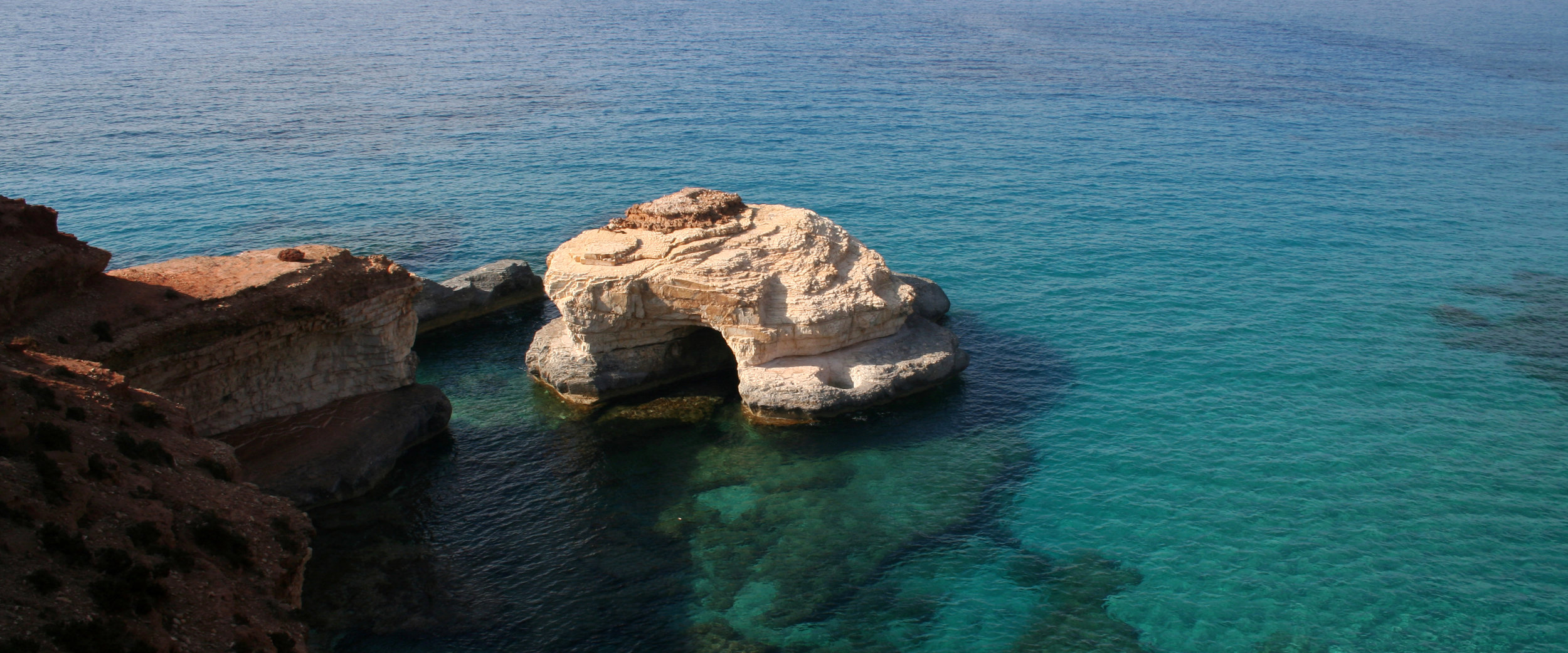
athrun, libya (photo: giulio lucarini)
Research Question 1
What
do internal networks of interaction reveal about changing forms and
ranges of mobility and exchange, as well as intensity of connectivity
and isolation (the latter critical as growing Holocene aridity from the
4th millennium BC began to split the region into variably internally
resilient habitat islands), socio-economic activity and possibly
identities?
Research Question 2
Why
does our information reduce so sharply from the 4th millennium BC
onwards until the threshold of the colonial Iron Age? To what extent can
this be attributed to aridification in the Mediterranean zone, as
undoubtedly holds good for the Sahara, or is it a product of failing to
look for the right kinds of material and sites, and of their relative
visibility?
Jebel akhdar, libya (photo: Giulio lucarini)
Research Question 3
What
are the reason of the very late dispersion of farming across the
Mediterranean littoral? Current evidence seems to indicate internal
variation in time and space across Mediterranean Africa. This includes a
long-lived mosaic of foraging, pastoral and mixed ways of, often
evincing a very broad multi-spectral exploitation of resources; and,
from the 6th millennium BC, confined enclaves of farming that long
remained restricted to the Nile and around the Gibraltar strait.
(Lucarini 2016).
Research Question 4
Was
Mediterranean African pre-Phoenician maritime engagement (beyond the
obvious exception of the Nile Delta) as limited as usually assumed? If
so, why, and what explains apparent exceptions in time and space,
notably across the strait of Gibraltar (a 6th millennium BC southward
farming transfer, and definite 3rd -2nd millennium BC trading links
signaled by pottery, metalwork and ivory) and the Sicilian narrows
(central Mediterranean obsidian in north Africa)?
The AWOL Index: The bibliographic data presented herein has been programmatically extracted from the content of AWOL - The Ancient World Online (ISSN 2156-2253) and formatted in accordance with a structured data model.
AWOL is a project of Charles E. Jones, Tombros Librarian for Classics and Humanities at the Pattee Library, Penn State University
AWOL began with a series of entries under the heading AWOL on the Ancient World Bloggers Group Blog. I moved it to its own space here beginning in 2009.
The primary focus of the project is notice and comment on open access material relating to the ancient world, but I will also include other kinds of networked information as it comes available.
The ancient world is conceived here as it is at the Institute for the Study of the Ancient World at New York University, my academic home at the time AWOL was launched. That is, from the Pillars of Hercules to the Pacific, from the beginnings of human habitation to the late antique / early Islamic period.
AWOL is the successor to Abzu, a guide to networked open access data relevant to the study and public presentation of the Ancient Near East and the Ancient Mediterranean world, founded at the Oriental Institute, University of Chicago in 1994. Together they represent the longest sustained effort to map the development of open digital scholarship in any discipline.


 Stumble It!


No comments:
Post a Comment