Jim Crow, Sam Turner
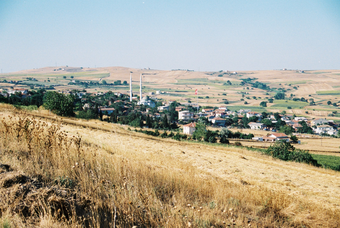
In many areas of the Eastern Mediterranean there are landscapes exhibiting exceptional time-depth, where the historic landscape is made up of visible features from many different periods. Our research adapted and used a new technique developed in Britain (Historic Landscape Characterisation - HLC) for the first time in the eastern Mediterranean to study these landscapes. HLC is a method for mapping the landscape that can be used to interpret how and when different elements were created. Using Geographical Information Systems (GIS) we integrated data from historical, archaeological and other sources to create detailed, long-term landscape histories of two case-studies areas.
This project investigated:
- How we can use cost-effective new methods to understand Mediterranean landscapes on a large scale
- How the rural landscapes of the Aegean have been shaped by social and economic life over the last 1500 years
- Whether the pace of change been comparable in two study aeas, or whether there have there been periods when people have changed some rural landscapes much faster than others

No comments:
Post a Comment