A Bernard Knapp, Michael Given
The Sydney Cyprus Survey Project (SCSP) was an intensive archaeological survey in the northern Troodos Mountains on the eastern Mediterranean island of Cyprus. Between 1992 and 1997 it undertook five seasons of fieldwork, established initially at Macquarie University, Sydney, but after 1996 based at the Department of Archaeology, University of Glasgow.
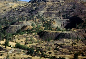
SCSP covered a 65 sq km area straddling two geological zones, the sedimentary plain and the igneous foothills. This is an area that has always been reputed for its natural resources, not least the copper sulphide ore deposits in the Lower Pillow Lavas. One of our primary goals was to use archaeological landscape data to analyse the relationship between the production and distribution of agricultural and metallurgical resources, and to chart the changing configurations of a complex society and the individuals within it. SCSP was designed to investigate the total landscape of its chosen area, and to determine the patterning of settlement and other human activity in the landscape through time.
The results and data from SCSP's work are being disseminated in four different media:
- academic publication, in particular the final monograph Given, M. & Knapp, A. B. (2003). The Sydney Cyprus Survey Project: Social Approaches to Regional Archaeological Survey, With twenty contributors, Monumenta Archaeologica 21, Los Angeles, University of California at Los Angeles Cotsen Institute of Archaeology;
- a general-interest booklet in Greek: In the Footsteps of the Ancients: The History and Archaeology of the Orini District in Cyprus);
- an overview on our project website, including the facility of exploring the survey area in maps, photographs and description ( http://www.scsp.arts.gla.ac.uk/);
- a digital archive curated and presented by the Archaeology Data Service. This consists of primarily of database and GIS files, and images giving GIS-generated analyses of human activity across the landscape.
No comments:
Post a Comment